 National Parks of China
Overview
| Designation | US National Park |
| Location | Western North Dakota |
| Latitude, longitude | 47.0, -103.4 Google Maps |
| Nearby sites | Badlands National Park, Wind Cave National Park |
| Nearby cities | Bismarck, Minot |
| Themes | Deserts, Canyons, Animals, Grasslands, Culture & history |
| Area | 70,400 acres |
About
Theodore Roosevelt National Park lies in the badlands of western North Dakota, a stretch of rolling wild country cut by the Little Missouri River. It is named for Theodore Roosevelt, the 26th president. Roosevelt came here in 1883 to hunt bison. The next year his wife and his mother died on the same day, and he came back to run a ranch, spending several years in the wilderness. He later said, “I would not have been president had it not been for my experience in North Dakota.” As president he created five national parks, eighteen national monuments and 150 national forests, and he is known as the “conservation president.” The area became a national memorial park in 1947 and a national park in 1978. It is the only US national park named after a president.
The park has three parts: the South Unit, the North Unit, and the Elkhorn Ranch Unit between them. The South and North units are about 100 km apart. The land is a maze of banded mounds, canyons and flat-topped buttes carved by the Little Missouri River, wind and rain. The rock layers hold red scoria, baked when coal seams burned, and petrified wood. On the grasslands live bison, wild horses, pronghorn, elk, prairie dogs and golden eagles, and bison herds often wander onto the roads.
Highlights
South Unit: the main entrance is at the I-94 exit next to the small town of Medora. The 36-mile Scenic Loop Drive runs through the park, with viewpoints such as Painted Canyon, Wind Canyon and Coal Vein. Roosevelt’s Maltese Cross Cabin has been moved next to the visitor center. In summer Medora puts on an outdoor show, the Medora Musical.
North Unit: on US-85. A 14-mile scenic road leads to Oxbow Overlook, above a big bend of the Little Missouri River. The Cannonball Concretions in the river valley and the tall cliffs are the North Unit’s special features.
Elkhorn Ranch: the ranch Roosevelt built in 1884, on the Little Missouri between the South and North units. Only foundation stones remain, and getting there means driving dirt roads and wading the river.
Painted Canyon: a viewpoint and visitor center on I-94 at the eastern edge of the South Unit. You can look out over the colorful badlands without entering the park.
Maah Daah Hey Trail: a trail over 140 km long that runs through the park from south to north, open to hikers and horse riders.
Travel information
The nearest airports are in Bismarck (about 200 km east) and Billings, Montana. By car, take I-94 to Medora. The park is open all year, but parts of the loop road close in winter because of snow. Summer days are hot; June and September are the most pleasant. Each unit has campgrounds but there are no hotels. Stay in Medora, or in Watford City near the North Unit.
Map
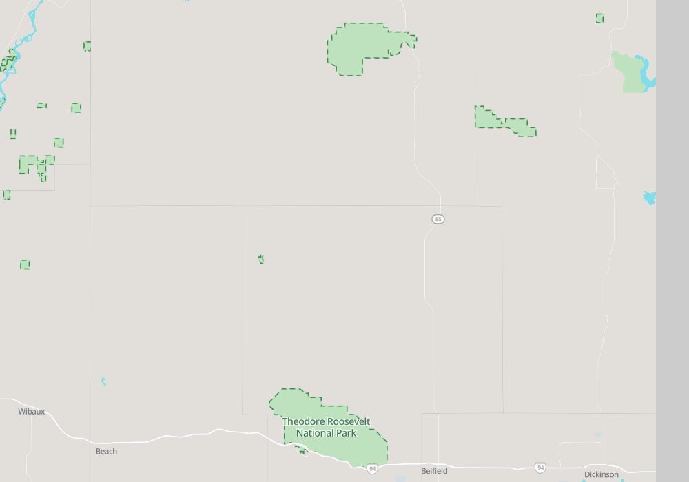
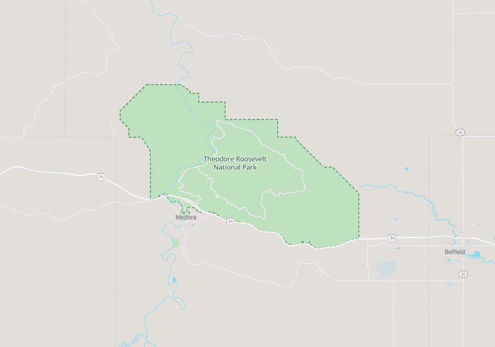
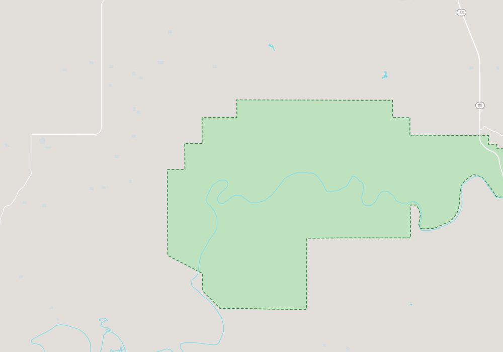
Maps drawn by this site’s map program, with data from OpenStreetMap.