 National Parks of China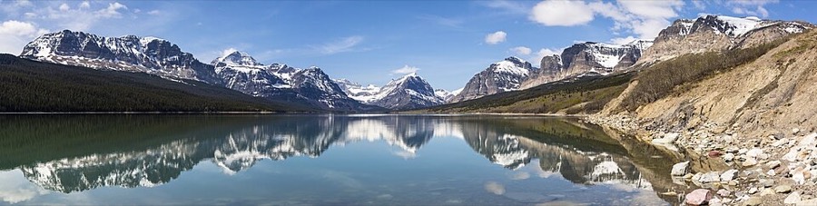
Overview
| Designation | UNESCO World Heritage (natural, 1995) US National Park |
| Location | Montana, on the Canadian border |
| Latitude, longitude | 48.7, -113.8 Google Maps |
| Nearby cities | Kalispell |
| Highlights | Glaciers, snowy peaks, lakes, forests, wildlife |
| Top sights | Logan Pass |
| Wildlife | Grizzly bear, black bear, moose, bighorn sheep, mountain goat |
| Nearby sites | Yellowstone National Park, North Cascades National Park, Grand Teton National Park |
| Themes | Glacier, Mountain, Snow Mountain, Cliff, Lake, Wildlife, Valley, Small Waterfall |
About
Glacier National Park once had 150 glaciers. Because of global warming, only 25 remain today.
Suggested itinerary
Day one: from St. Mary Lake, follow the Going-to-the-Sun Road over Logan Pass to Lake McDonald.
On the way, park at Logan Pass and walk to the Hidden Lake Overlook.
Note: parking at Logan Pass is limited.
Day two: visit Waterton Lakes National Park, just to the north in Canada.
Day three: visit Many Glacier.
Main sights
<b>Lake McDonald</b>: the largest lake in the park, about 16 km long, on the west side and ringed by dense forest and mountains. The pebbles on the lake bed are red, green and other colours and can be seen from the shore when the water is clear. Apgar village is at the south end, near the west entrance.
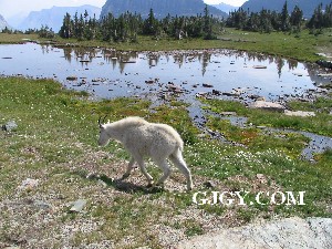
<b>Logan Pass</b>: the highest point of the Going-to-the-Sun Road, on the Continental Divide at about 2,000 m. Alpine meadows here fill with wildflowers in summer, and mountain goats and bighorn sheep are often seen.
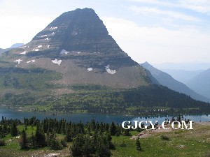
<b>Hidden Lake Overlook</b>: a trail of boardwalk and dirt path from Logan Pass, about 4 km round trip, ending at a view of Hidden Lake and the cliffs around it.
<b>Highline Trail</b>: from Logan Pass, it follows the mountainside along the west flank of the Garden Wall ridge, with a drop on one side and a cliff on the other. It is about 18 km long and usually ends near Granite Park.
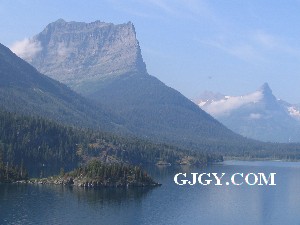
<b>St. Mary Lake</b>: the eastern part of the Going-to-the-Sun Road runs beside it. Wild Goose Island in the lake is among the most photographed views on the east side.
<b>Many Glacier</b>: in the northeast, with Swiftcurrent Lake and an old lodge surrounded by peaks. It has the park's densest network of hiking trails, including the one to Grinnell Glacier.
<b>Two Medicine</b>: in the southeast, with lakes and valleys that are quieter and less visited, and trails around the lake and into the mountains.
<b>Polebridge and the North Fork</b>: in the northwest, reached by rougher roads and still remote in character. Bowman Lake and Kintla Lake nearby see few visitors.
<b>Waterton Lakes National Park</b>: just north in Canada. With Glacier it forms the Waterton-Glacier International Peace Park; the two parks were joined in 1932.
Geology and landscape
The mountains are made mainly of ancient sedimentary rock laid down more than a billion years ago, in bands of red, green and grey. Around 70 million years ago these old rocks were pushed eastward over younger layers along the Lewis Overthrust. Chief Mountain is an isolated remnant of the thrust block left by erosion.
The shape of today's valleys was cut mostly by Ice Age glaciers: U-shaped valleys, cirques, arêtes and horns are seen throughout the park. Small hanging valleys high on the walls end in waterfalls, such as Bird Woman Falls, which can be seen from the Logan Pass area.
When the ice retreated to the high peaks it left dozens of moraine and glacial lakes, coloured milky blue or green by rock flour ground off by the ice. The glaciers that remain date from the Little Ice Age and are still shrinking.
Triple Divide Peak, in the south of the park, sends water to the Pacific Ocean, the Gulf of Mexico and Hudson Bay, one of very few such points in North America.
Travel tips
Getting there: the park is in northwest Montana. The nearest airport is Glacier Park International near Kalispell, about 30 minutes from the west entrance; Amtrak trains stop at West Glacier and East Glacier.
Going-to-the-Sun Road: the main road across the park is 50 miles long and crosses Logan Pass; vehicle length and width are restricted on parts of the road.
Shuttle: in summer a shuttle runs along the road; parking is scarce, so the shuttle is easier than driving yourself.
Main sights: the Hidden Lake trail from Logan Pass, Lake McDonald, St. Mary Lake, and Many Glacier on the east side, which has glacial lakes and some of the best hiking.
Time: allow at least two days, three for comfort, and more if you hike.
Season: the road is usually open end to end from late June to mid-October; July to September is best, while June and October may still have snow on the road.
Where to stay: there are old lodges (such as Many Glacier Hotel) and campgrounds inside the park, booked up to a year ahead for summer; Columbia Falls and St. Mary have other lodging.
Caution: this is grizzly bear country; hike in a group and carry bear spray; weather at the pass changes quickly and summer can turn cold.
More photos
Map
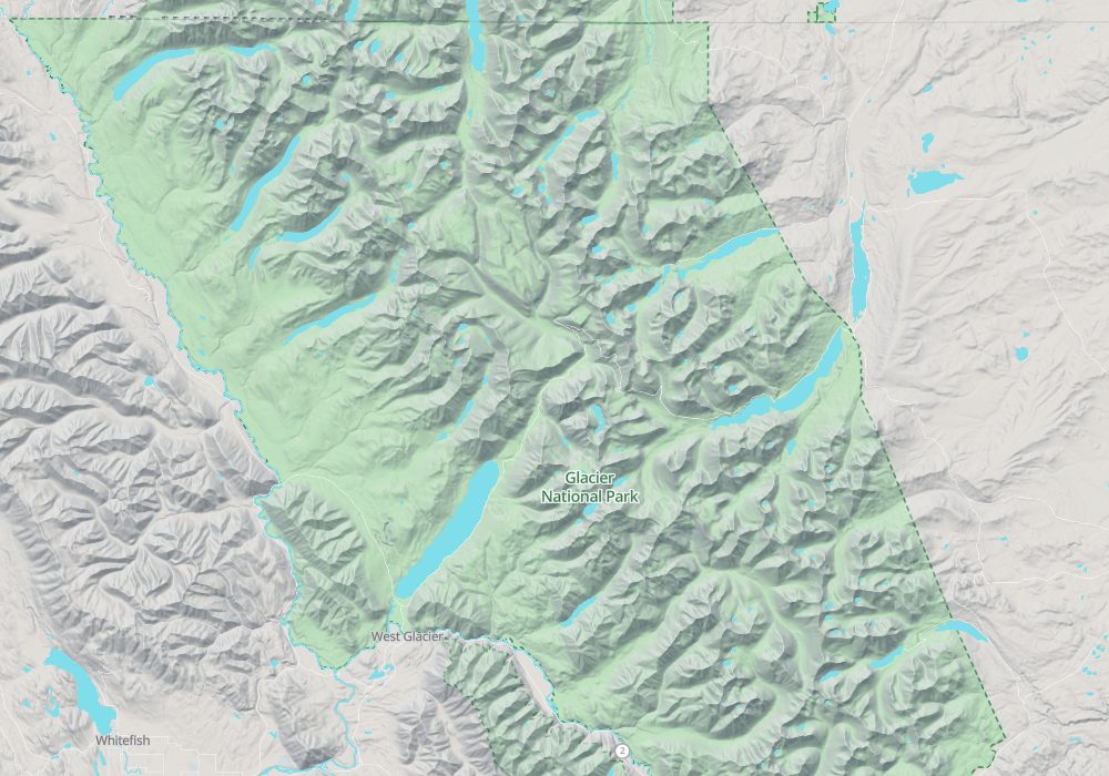
© OpenStreetMap contributors · terrain © Copernicus · Map credits
Photo credits: Glacier National Park: Jacob W. Frank, NPS (public domain)