 National Parks of China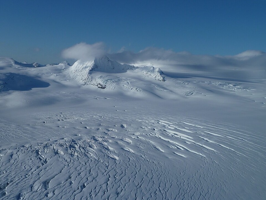
Overview
| Designation | US National Park |
| Location | On the coast about 100 miles south of Anchorage, Alaska |
| Latitude, longitude | 59.8, -150.1 Google Maps |
| Highlights | Fjords, glaciers, marine wildlife |
| Top sights | Tidewater glaciers, whales |
| Wildlife | Humpback whale, orca, gray whale, sea lion, seal, sea otter, black bear, puffin, deer |
| Area | 607,000 acres |
| Highest point | 6,612 feet |
| Nearby cities | Anchorage |
| Nearby sites | Denali National Park and Preserve, Lake Clark National Park and Preserve, Wrangell–St. Elias National Park, Katmai National Park and Preserve |
| Themes | Ocean, Glacier, Snow Mountain, Forest, Wildlife, Bird, Island, Bay |
About
Kenai Fjords National Park lies about 100 miles south of Anchorage, Alaska, on the southern Kenai Peninsula. Its main features are fjords, glaciers and snowy mountains.
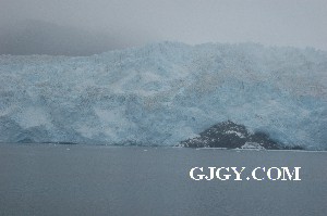
Some glaciers flow straight into the sea.
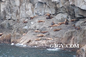
The park is home to humpback whales, orcas, sea lions, seals, puffins and other animals.
Most of the park has no roads. The only part you can drive to is Exit Glacier.
To see the rest, you need to take a boat or a plane.
Boat tours of the park usually leave from Seward.
Suggested itinerary
Day one: take a boat tour of Kenai Fjords to see tidewater glaciers and marine wildlife. The National Park Tour is recommended.
Day two (or the afternoon of day one): visit Exit Glacier and the icefield.
With more time, visit the Kenai National Wildlife Refuge and Prince William Sound.
With a bigger budget, take a flightseeing tour from Seward.
Main sights
Seward: the gateway town at the head of Resurrection Bay, with the Alaska SeaLife Center and the boat harbor.
Exit Glacier: northwest of Seward, the only glacier in the park reachable by road, with trails from the nature center and signs marking where the ice stood in earlier years.
Harding Icefield: a vast sheet of ice over the Kenai Mountains, about 700 square miles, from which Exit Glacier and many other glaciers flow.
Aialik Bay and Aialik Glacier: one of the tidewater glaciers most often visited by boat, where ice calves into the fjord.
Holgate Glacier: a tidewater glacier in Holgate Arm of Aialik Bay, a regular stop on longer boat tours.
Northwestern Fjord: far to the southwest, reached only on longer cruises or by charter, with Northwestern Glacier at its head.
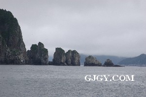
Chiswell Islands: a group of small islands off the fjords, part of the Alaska Maritime National Wildlife Refuge, home to seabirds such as puffins and murres, and to sea lions.
Bear Glacier: on the park's east side, with icebergs floating in the lagoon at its foot, reached by kayak or small plane.
Geology and landscape
Fjords form when glaciers flow down valleys to the sea and deepen them. When the ice retreated after the ice age, the sea flooded the deep valleys. Kenai Fjords takes its name from these drowned glacial valleys.
Harding Icefield is a remnant of the ice sheets of the ice age. More than 30 glaciers flow out of it, some reaching the sea as tidewater glaciers, and the breaking-off of ice at their fronts is called calving.
Most of the glaciers are now retreating. Signs along the trail at Exit Glacier mark the position of its front from 1815 onward, showing how far it has pulled back.
The 1964 Alaska earthquake dropped the land in this region, so that the sea drowned parts of the coast, and Seward was damaged by tsunami waves and submarine landslides.
Travel tips
Getting there: the park entrance is the seaside town of Seward. From Anchorage it is about 2.5 hours (about 200 km) by car, or you can take the Alaska Railroad, which runs a daily summer train of about 4 hours.
Inside the park: nearly all of the park has no roads. Only the Exit Glacier area can be reached by car; the rest needs a boat or aircraft.
Boat tours: tours from Seward harbor run from about 4 to 8 hours and mostly show tidewater glaciers, humpback whales, orcas, sea lions and seabirds. Longer tours cover different routes and wildlife.
Exit Glacier: about 15 km north of Seward, the road ends at a visitor center and short trails that go close to the glacier's snout. Signs along the path mark where the ice stood in earlier years.
Harding Icefield: for a longer walk, the Harding Icefield Trail is about 14 km round trip, climbing over 1,000 m to the icefield edge, usually 6 to 8 hours.
Kayaking and flights: guided sea kayak trips run from Seward, and small plane or helicopter flights give a view of the icefield.
Season: tours run mainly from May to September, with June to August the busiest. Weather is often cloudy and wet, so bring a waterproof jacket. The Exit Glacier road is closed to cars in winter and is used for snowshoeing and skiing.
Where to stay: lodging is mostly in the town of Seward and fills early in summer; a small campground by Exit Glacier has limited spaces.
More photos
Map
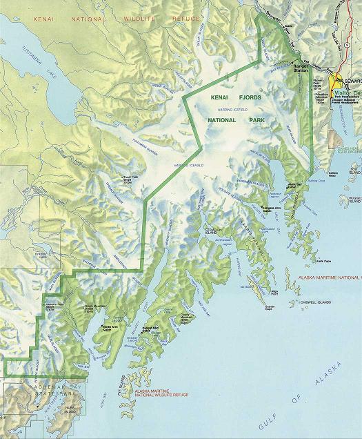
Seward
Seward is a seaside town next to Kenai Fjords National Park. It is named after William Seward, Lincoln’s Secretary of State.
In 1867, against strong opposition, Seward bought Alaska from Russia for 7.2 million dollars, about 2 cents an acre, and was mocked for it at the time.
Later, rich deposits of gold, silver and copper, as well as oil, were found in Alaska.
Ferries run between Seward and Valdez.
Prince William Sound
Prince William Sound lies northeast of Kenai Fjords National Park.
Boat tours of the sound usually leave from Whittier.
Prince William Sound has more and better tidewater glaciers, and calmer water, but less marine wildlife than Kenai Fjords.
Photo credits: Kenai Fjords National Park: US National Park Service (public domain)