 National Parks of China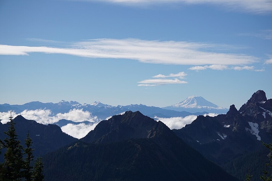
Overview
| Designation | US National Park |
| LocationWestern Washington State | , USA |
| Latitude, longitude | 46.9, -121.7 Google Maps |
| Area | 235,600 acres |
| Highest point | 14,410 feet |
| Nearby cities | Seattle |
| Nearby sites | Olympic National Park, North Cascades National Park, Crater Lake National Park |
| Themes | Snow Mountain, Mountain, Volcano, Glacier, Forest |
About
Mount Rainier National Park is in western Washington State. It became a US national park in 1899.
Travel tips
Getting there: the park is south-east of Seattle, 2 to 2.5 hours by car. The nearest major airport is Seattle-Tacoma International.
Entrances: the Nisqually Entrance in the south-west is open all year and leads to Longmire and Paradise; Sunrise in the north-east is open only from summer to early autumn.
Paradise: this is the busiest area, at about 1,650 m, with a visitor center and many trails. Meadows are full of wildflowers in summer, and in winter it is the starting point for snowshoeing and cross-country skiing.
Skyline Trail: the Skyline Trail loops from Paradise for about 9 km, with views of glaciers, wildflowers and the summit of Mount Rainier.
Sunrise: Sunrise, at about 1,950 m, is the highest point you can reach by road in the park, with wide views mainly of glaciers and the summit.
Season: wildflowers peak from late July to August, and high trails are usually snow-free only from July. In winter the road from Nisqually to Paradise stays open but chains are required. Rain and snow are frequent and the summit is often hidden in cloud.
Where to stay: Paradise Inn (summer) and the National Park Inn at Longmire (all year) are in the park, with several campgrounds, and need early booking in summer; Ashford and nearby villages are outside the park.
Photo credits: Mount Rainier National Park: US National Park Service (public domain)