National Parks of China
Overview
| Designation | National Park of China (third batch) |
| Province | Qinghai |
| Location | About 100 km west of Xining, Qinghai |
| Latitude, longitude | 36.9, 100.1 Google Maps |
| Nearby sites | Jiuzhaigou and Huanglong, Western Xia Imperial Tombs, Mogao Caves, Mingsha Dunes and Crescent Spring, Mount Kongtong |
| Highlights | Plateau salt lake |
| Top sights | Bird Island |
| Elevation | 3,260 m |
| Nearby cities | Xining, Lanzhou, Yinchuan |
| Themes | Lakes, Birds, Islands, Plateaus, Stamps |
About
Qinghai Lake lies in the north-east of the Tibetan Plateau about 100 km west of Xining, Qinghai, China’s largest salt lake: 4,236 km², about 360 km round, 20 m deep on average and 3,260 m above sea level.
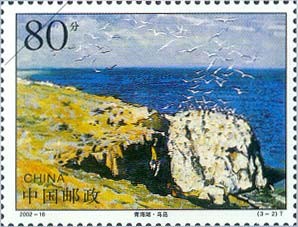
Its sights are Haixin Mountain and Bird Island. Haixin (“Heart of the Sea”), also Longju Island, about 1 km², is rocky and famous for its “dragon colts”. Bird Island, about 0.5 km², hosts more than 100,000 migratory birds in spring and summer.
Stamps
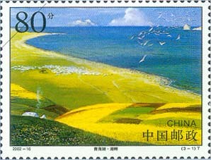
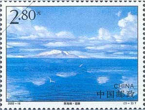
In 2002 China Post issued “Qinghai Lake”, three stamps: the lakeshore, Bird Island and a distant view.