 National Parks of China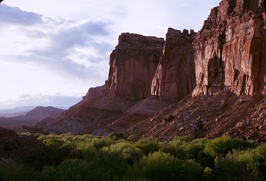
Overview
| Designation | US National Park |
| Latitude, longitude | 38.3, -111.2 Google Maps |
| Nearby cities | Phoenix, Denver, Las Vegas |
| Area | 241,900 acres |
| Nearby sites | Bryce Canyon National Park, Canyonlands National Park, Arches National Park, Zion National Park |
| Themes | Red Rock, Canyon, Cliff |
About
Capitol Reef National Park is in the United States. It was first protected in 1937 as a national monument and became a US national park in 1971.
Travel tips
Getting there: the park is in south-central Utah, far from large cities. The nearest town is Torrey at the western end, about three and a half to four hours' drive from Salt Lake City.
Main road: Highway 24 crosses the northern part of the park, passing the visitor centre, the historic settlement of Fruita and several viewpoints, so the main sights can be seen by car.
Scenic drive: from the visitor centre a scenic drive of about 8 miles heads south into canyons with red cliffs on both sides; the first part is paved.
Trails: the Hickman Bridge Trail is short and leads to a natural bridge; the Capitol Gorge trail runs through a narrow canyon with inscriptions left by early travellers.
Orchards: Fruita was settled by Mormon pioneers and the orchards they planted are still kept; in summer and autumn visitors can pick fruit.
Time: a day covers the main road, the scenic drive and one or two short trails; the remote canyons need another day.
Season: spring and autumn are best; summer is hot, and canyons can flood during thunderstorms.
Where to stay: Fruita has a campground with limited sites; Torrey and nearby towns have motels.
Caution: dirt roads in the remote areas become impassable after rain; avoid low ground in canyons when it rains.
More photos
Photo credits: Capitol Reef National Park: NPS (public domain)