 National Parks of China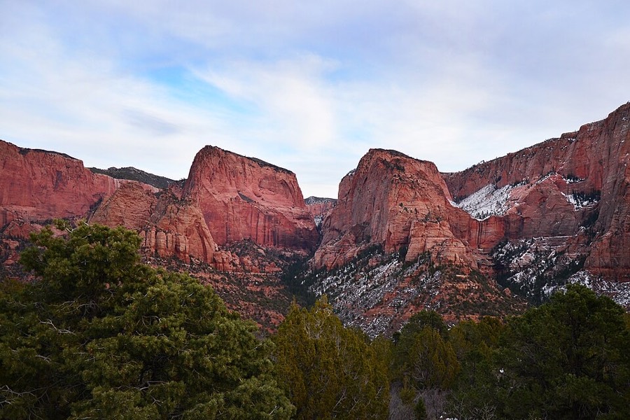
Overview
| Designation | US National Park |
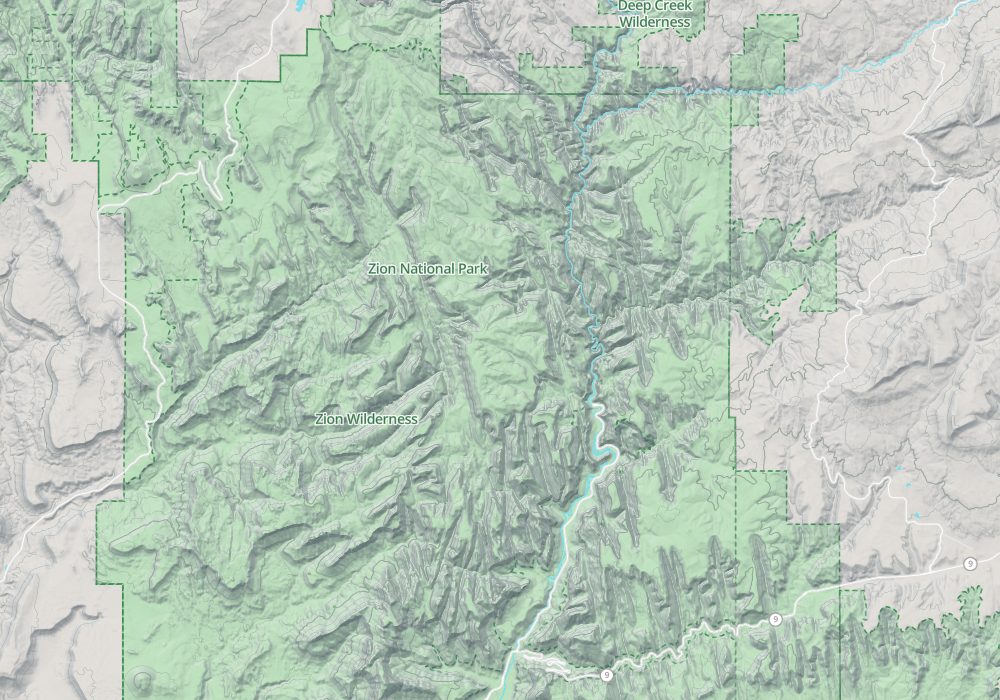
| Location | Utah, USA |
| Latitude, longitude | 37.3, -113.0 Google Maps |
| Highlights | Canyons, cliffs, river |
| Top sights | Angels Landing, Temple of Sinawava, Canyon Overlook |
| Area | 146,600 acres |
| Highest point | 8,700 feet |
| Nearby cities | Las Vegas |
| Nearby sites | Bryce Canyon National Park, Grand Canyon National Park, Capitol Reef National Park, Great Basin National Park |
| Themes | Canyon, Red Rock, Stream, Cliff, Mountain, River |
About
Zion National Park is in Utah. It became a US national park in 1919.
Main sights
Court of the Patriarchs: a viewpoint on the scenic drive, with three adjacent sandstone peaks named for biblical patriarchs.
Zion Lodge: the lodging in the middle of the canyon, set among lawns and large trees, with a red cliff opposite and a shuttle stop.
Weeping Rock: a short path leads to a rock wall where water seeps out of the base of the sandstone and drips from the face, which is covered in ferns and moss.
Great White Throne: a huge white sandstone cliff in the canyon, visible from much of the route and rising about 700 m above the canyon floor.
Emerald Pools: three pools linked by trails; the lower has a small waterfall, and the upper lies in a pool at the foot of the cliff, greenish in colour.
The Narrows: the narrow upper canyon of the Virgin River, with walls hundreds of metres high and in places only a few metres apart, usually walked by wading in the river.
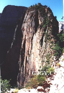
Angels Landing: an isolated sandstone ridge about 450 m above the canyon floor. The final stretch follows a steep, narrow spine, with chains to hold.
Checkerboard Mesa: beside the Zion–Mount Carmel Highway in the east, a sandstone mesa whose surface is cut by crossing cracks into a checkerboard pattern.
Kolob Canyons: a separate district in the northwest with red cliffs and forest, entered directly from I-15, quieter than the main canyon.
Observation Point: the end of a trail on the east side, from high above the whole of Zion Canyon.
Geology and landscape
The main rock of the canyon walls is Navajo Sandstone, laid down in the early Jurassic when the area was a vast desert. Dunes piled up and hardened into rock hundreds of metres thick, and the slanting layers in the cliffs are the bedding of the old dunes.
Iron oxide gives the cliffs their red and orange colour, while iron has been leached from the upper part of the walls, leaving it white or cream, which is the reason for the name Great White Throne.
The Virgin River cuts down through the plateau, carrying away debris and deepening the canyon where hard and soft layers alternate. The park's elevation ranges from about 1,100 m at the lowest to about 2,600 m at the highest.
Zion lies in the Grand Staircase of strata on the southwestern edge of the Colorado Plateau. Younger layers appear in turn to the north, in places such as nearby Bryce Canyon National Park.
Sandstone lets water seep through, so springs and hanging valleys occur along the walls, as at Weeping Rock. In a storm the water arrives quickly, and flash floods move the gravel on the riverbed.
Travel tips
Getting there: The nearest large airport is Las Vegas, about 2.5 to 3 hours by road via I-15 and UT-9 to Springdale, the town at the south entrance; St. George airport is closer, about an hour away.
Shuttle: For much of the year (roughly March to November) Zion Canyon Scenic Drive is open only to the free park shuttle, not private cars; there are stops in Springdale and at the visitor center.
Main sights: The shuttle ends at the Temple of Sinawava, where the Riverside Walk leads into The Narrows; Angels Landing is a steep ridge climbed with the help of chains.
Permits: Angels Landing needs a permit drawn by lottery; the full top-down hike through The Narrows needs a permit, but wading the lower section does not.
Flash floods: The Narrows and other canyons can flood suddenly in rain or when storms hit upstream; check the forecast at the visitor center and stay out of the water in unsettled weather.
East side: the Zion–Mount Carmel Highway passes through a tunnel of about 1.8 km; oversize vehicles must be escorted through.
Kolob: Kolob Canyons, to the north-west, is a separate section reached directly from I-15, and is much quieter.
Season and lodging: Spring and autumn are best, and summer temperatures often exceed 38 C. Zion Lodge and two large campgrounds are in the park and need booking months ahead in season; otherwise stay in Springdale.
More photos
Map
© OpenStreetMap contributors · terrain © Copernicus · Map credits
Photo credits: Zion National Park: ZionNPS (public domain)