 Park of China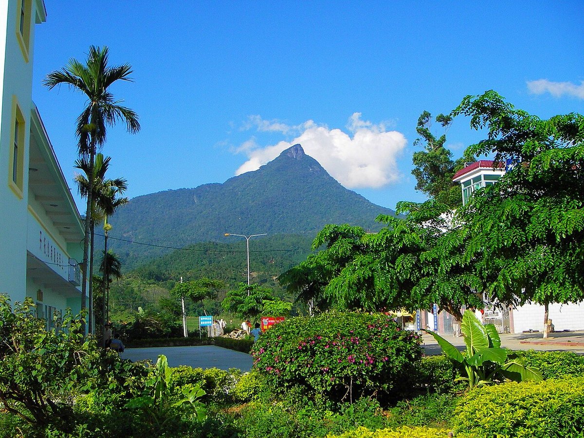
Overview
| Designation | National Park (new system) (established 2021) |
| Name | Hainan Tropical Rainforest National Park |
| Location | Mountains of central Hainan Island |
| Area | 4,269 km² |
| Managed by | National Forestry and Grassland Administration (National Park Administration) |
| Nearby cities | Haikou |
| Nearby sites | Tropical Coast of Sanya 76km, Huguangyan 257km Search nearby |
| Latitude, longitude | 18.90, 109.68 Google Maps |
Introduction
Hainan Tropical Rainforest National Park, in the mountains of central Hainan Island, protects the largest and best-preserved continuous tropical rainforest in China, including the Wuzhi, Yingge, Jianfeng, Bawang, Diaoluo and Limu mountains.
A national park pilot began in 2019 and the park was formally set up in 2021. Its Hainan gibbon, found only around Bawangling, is one of the most endangered primates in the world.
According to the National Forestry and Grassland Administration (2026), Hainan gibbons have increased to 44, in seven groups.
The map dot marks one place in the park, not its extent.
Park areas
The park spans nine cities and counties — Wuzhishan, Qiongzhong, Baisha, Changjiang, Dongfang, Baoting, Lingshui, Ledong and Wanning — covering about 12% of Hainan's land area.
Core protection zone: 2,331 km²; general control zone: 1,938 km².
It merges the rainforest parts of more than 20 former nature reserves, forest parks, scenic areas and geoparks, plus state forest farms such as Maorui, Kafaling and Tongshi.
It is managed through seven branches: Jianfengling (Ledong), Bawangling (Changjiang, Baisha), Wuzhishan (Wuzhishan City, Qiongzhong), Yinggeling (Baisha), Limushan (Qiongzhong), Diaoluoshan (Lingshui) and Maorui.
Nature and wildlife
The park covers most of the mountains of south-central Hainan. Mount Wuzhi (1,867 m) is the island's highest peak, and the Nandu, Changhua and Wanquan rivers all rise here.
The climate is tropical monsoon. The forest lies where tropical rainforest meets monsoon evergreen broadleaf forest, and is classed as a continental-island type rainforest.
According to Xinhua (2024), preliminary counts record 3,653 species of wild vascular plants and 540 species of terrestrial vertebrates.
First-class protected plants include Hopea hainanensis and Cycas hainanensis. Besides the Hainan gibbon, animals include Hainan Eld's deer, Chinese pangolin and the Asian water monitor.
Some 40 years ago only two groups of Hainan gibbons, fewer than ten animals, remained. Thirty Hainan Eld's deer have been reintroduced to the park.
Places to visit
Jianfengling (Ledong): Tianchi, a mountain lake at about 800 m, plus trails to the main peak and Mingfeng Valley.
Bawangling (Changjiang): the Yajia and Baishitan scenic areas with rainforest boardwalks; Yajia Falls drops about 150 m.
Wuzhishan (Wuzhishan City): a boardwalk to the summit of Mount Wuzhi and a trail to the source of the Changhua River.
Diaoluoshan (Lingshui): leave the island ring expressway at Lingshui for Diaoluoshan town at the foot of the mountain, then head up for streams and waterfalls.
Limushan (Qiongzhong) and Yinggeling (Baisha): also open to visitors, and less crowded.
Rainforest National Park Scenic Road: opened in December 2024, this 466 km loop circles the park and links the entrances of each area; good for driving and cycling.
Travel tips
The main airports are Haikou Meilan and Sanya Phoenix. Jianfengling and Bawangling are reached via the western ring high-speed railway and western expressway; Wuzhishan and Limushan via the central expressway or the central Haikou–Sanya road; Diaoluoshan from Lingshui on the east coast.
The park can be visited year-round. May–October is the rainy season, usually sunny mornings and wet afternoons. Winter is cool in the mountains with large day–night swings; bring a jacket.
Typhoons occur in summer and autumn; mountain roads and trails may close around them, so check local forecasts.
Open areas charge admission. Core protection zones are closed to visitors; stay on designated trails and routes.
The forest is hot and humid: bring insect and leech repellent and rain gear, and do not leave the trails.
More photos
Map

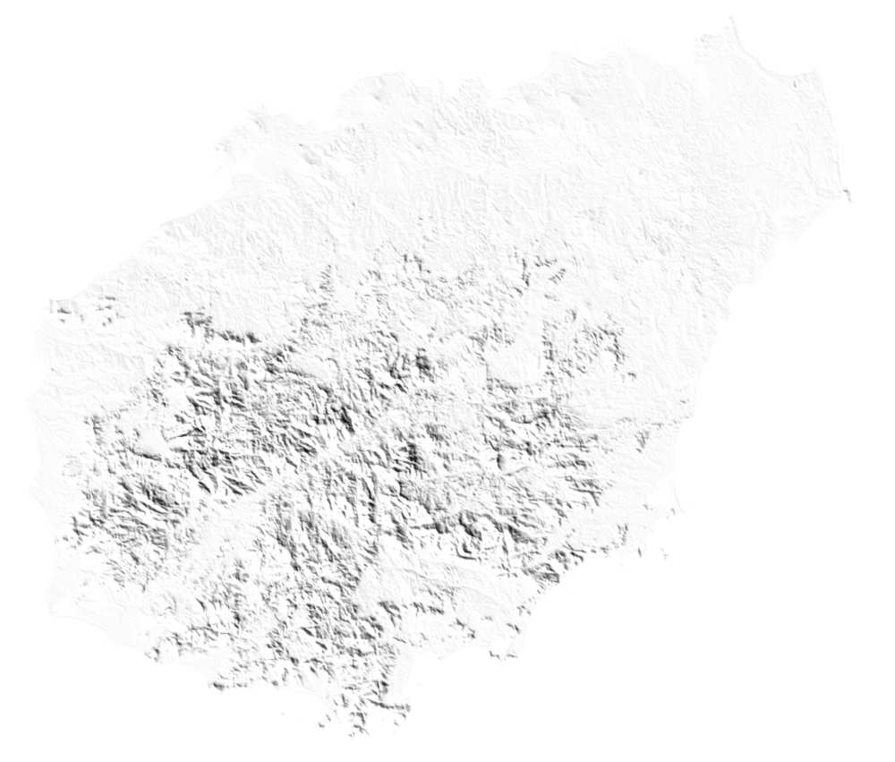
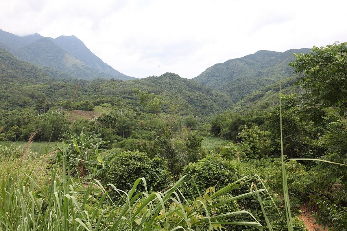
Photo credits: Forested hills near Yinggeling: 川号子 (CC BY 3.0, Wikimedia Commons)
Nearby
| National parks | Tropical Coast of Sanya 76km |
| AAAAA attractions | Yanoda Rainforest Cultural Tourist Area 49km, Areca Valley Li and Miao Culture Tourist Area 56km, Fenjiezhou Island Tourist Area 65km, Wuzhizhou Island Tourist Area 66km |
| AAAA attractions | Qixianling Hot Spring National Forest Park 22km, Xinglong Tropical Botanical Garden 57km, Sanya International Duty-Free City 59km |
| UNESCO Global Geoparks | Leiqiong UNESCO Global Geopark 126km |
| Cities | Haikou 143km |
| National geoparks | Haikou Shishan Huoshanqun National Geopark 126km |
| Nature reserves | Wuzhishan National Nature Reserve 2km, Yinggeling National Nature Reserve 21km, Diaoluoshan National Nature Reserve 24km, Jianfengling National Nature Reserve 88km |