 National Parks of China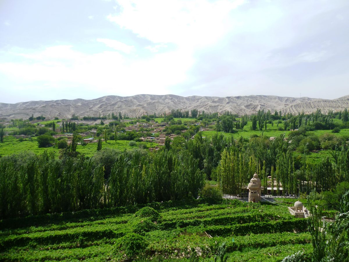
Overview
| Province | Xinjiang |
| Latitude, longitude | 43.00, 89.24 Google Maps |
| Themes | Valley, Plant, Ethnic cultures, Old villages & vernacular houses, Food |
About
Grape Valley, north-east of Turpan in Xinjiang, is a gorge at the western end of the Flaming Mountains, about 8 km long. The Buyiluke River, fed by snowmelt from the Tian Shan, waters vineyards along both banks, and the green valley floor contrasts sharply with the bare slopes outside.
The hot, dry summers of the Turpan Basin suit both growing grapes and drying them. On the slopes stand drying houses built of mud brick, their walls full of openings for ventilation; grapes hung inside dry in the shade into raisins.
Travel tips
Getting there: Turpan has a high-speed railway station and an airport; the valley is about twenty minutes by road from the city.
Season: grapes ripen from July to September, most in August; summer is extremely hot, so rest under the vines at midday.
Time: half a day; combine with the Flaming Mountains, the ruins of Jiaohe and Gaochang and the karez wells over one or two days.
Where to stay: in Turpan; Uyghur family guesthouses in the valley.
Photo credits: Vineyards and poplars on the floor of Grape Valley, with bare hills beyond: Radosław Botev (CC BY 3.0 PL, Wikimedia Commons)
Nearby
| World Heritage | Yarkhoto 16km, Site of Qocho City 29km, Bogda 120km, Site of Bashbaliq City 122km |
| National parks | Kumtag Desert 82km, Bosten Lake 228km |
| AAAAA attractions | Jiangbulake Scenic Area 83km, Tianshan Grand Canyon Scenic Area 156km |
| AAAA attractions | Turpan Museum 8km, Dajiao River 11km, Flaming Mountains Scenic Area 23km, Gaochang Ancient City 29km |
| Historic cities | Turpan 8km |
| Historical sites | Su Gong Pagoda 8km, Yarkhoto Ancient City 16km, Ancient Turpan Basin Military Defense Sites 19km, Karez Underground Irrigation System 19km |