 National Parks of China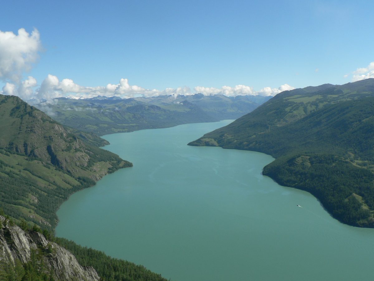
Overview
| Province | Xinjiang |
| Latitude, longitude | 48.81, 87.04 Google Maps |
| Themes | Lake, Mountain, Forest, Glacial, River, Autumn colours, Ethnic cultures, Old villages & vernacular houses, Viewpoints & photography, Rafting & boat trips |
About
Kanas Lake lies on the southern slope of the Altai Mountains in the far north of Xinjiang, near the borders with Kazakhstan, Russia and Mongolia. It formed when a glacier retreated and its moraine dammed the valley. The lake is long and narrow, about 24 km long and some 190 m deep at its deepest, and drains from its southern end as the Kanas River.
Old-growth forest, mostly Siberian larch, surrounds the lake and lines the valley. Below the lake the Kanas River forms a series of bends known as Wolong (Crouching Dragon), Moon and Fairy bays. Kanas village at the south end of the lake and nearby Hemu village are home to the Tuvans (counted as part of the Mongol nationality), who live in log houses.
Travel tips
Getting there: fly or travel to Burqin town or Kanas Airport near Burqin, then drive north for about three hours; inside the scenic area, change to the park shuttle buses.
What to do: the shuttle follows the valley, with stops at Wolong, Moon and Fairy bays for short walks; at the lake, take a boat, or climb to the Fish-Viewing Platform for a view over the whole lake.
Season: June to September; autumn colour peaks in the second half of September but lasts only a short time. Winter is bitterly cold with deep snow.
Time: at least two days, plus a day for Hemu village.
Where to stay: log-cabin guesthouses and hotels in Kanas village, Jiadengyu and Hemu.
Map
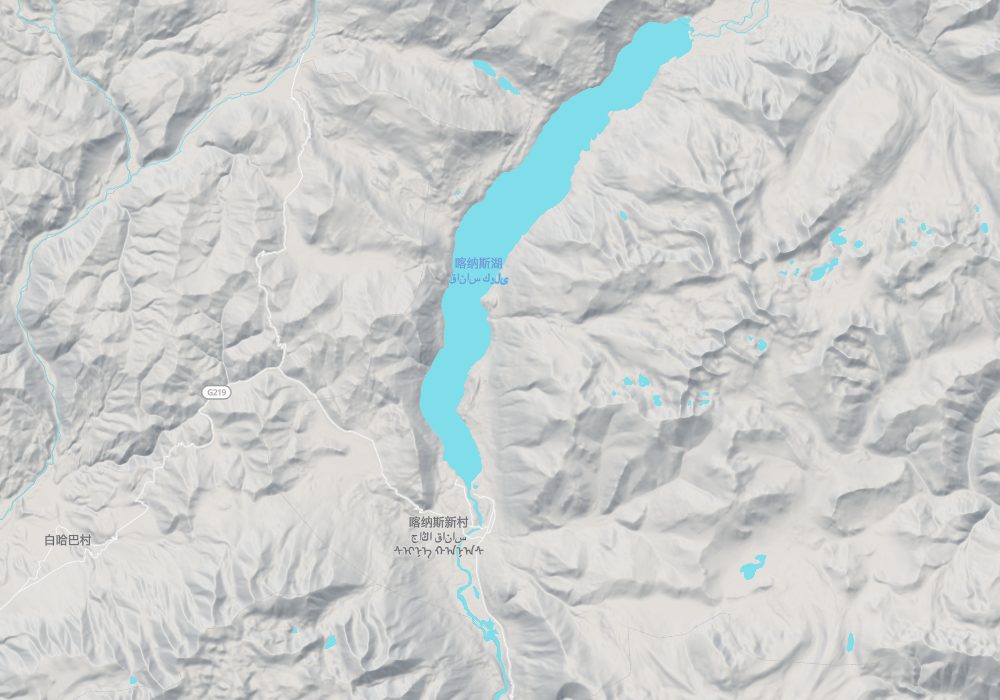
© OpenStreetMap contributors · terrain © Copernicus · Map credits
Photo credits: Kanas Lake: Wang Xiaozhe、Meng Jie (CC BY-SA 3.0, Wikimedia Commons)
Nearby
| World Heritage | Golden Mountains of Altai 70km, Petroglyphic Complexes of the Mongolian Altai 82km, Uvs Nuur Basin 331km, Site of Bashbaliq City 550km |
| AAAAA attractions | Baisha Lake Scenic Area 108km, Koktokay Scenic Area 272km, World Ghost City Scenic Area 395km |
| AAAA attractions | White Birch Forest Scenic Area 97km, Wucai Beach 113km |
| Historical sites | Greater Kanas Scenic Area Tombs 13km |