 Park of China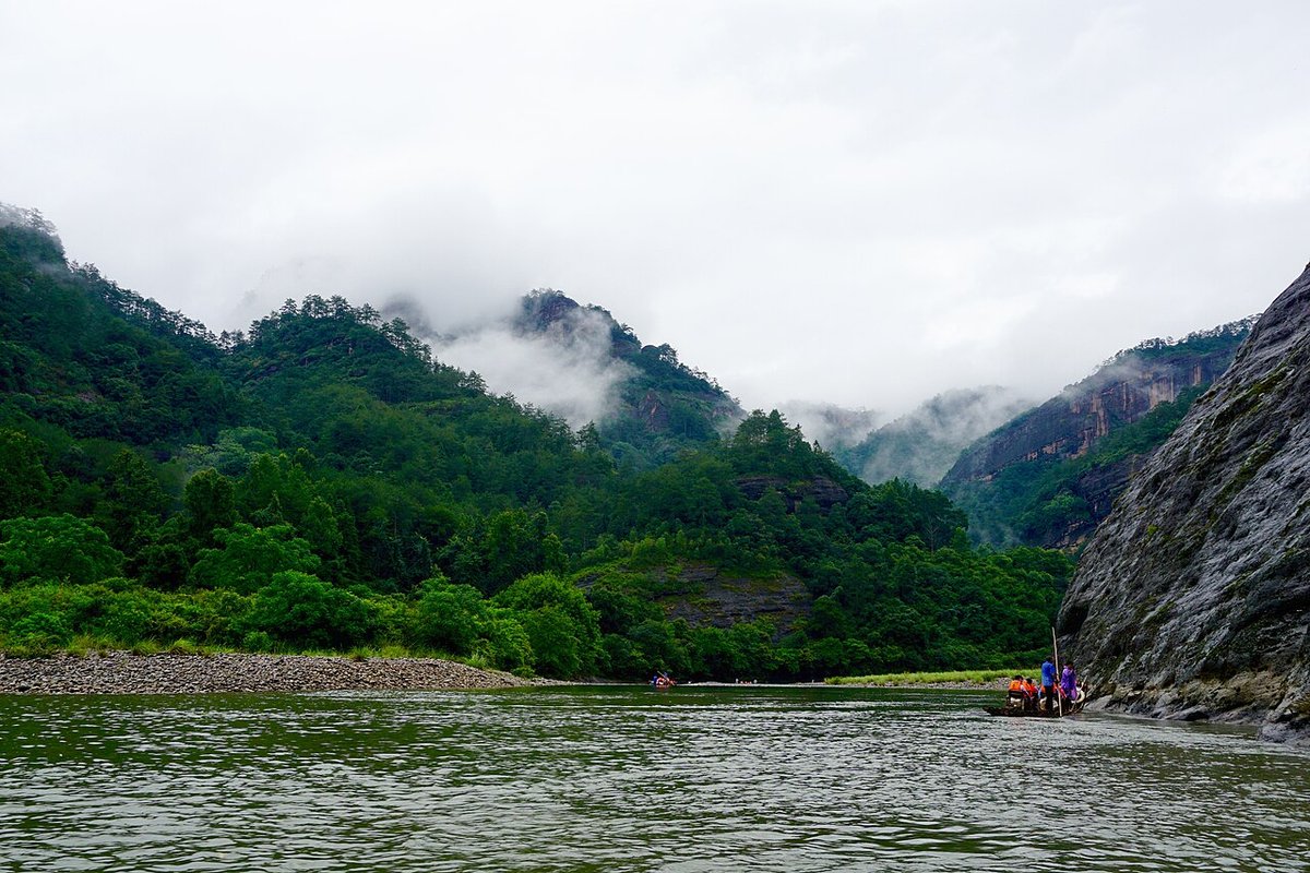
Overview
| Designation | National Park (new system) (established 2021) |
| Name | Wuyishan National Park |
| Location | Northern Fujian (Wuyishan City and others) and north-eastern Jiangxi (Yanshan County) |
| Area | 1,280 km² |
| Managed by | National Forestry and Grassland Administration (National Park Administration) |
| Nearby cities | Fuzhou, Nanchang |
| Nearby sites | Guifeng (Turtle Peak) 84km, Mount Longhu (Dragon and Tiger Mountain) 106km, Mount Jianglang 108km, Mount Sanqing 140km, Jingdezhen Handicraft Porcelain Industry Sites 194km Search nearby |
| Latitude, longitude | 27.66, 117.95 Google Maps |
Introduction
Wuyishan National Park lies on the northern Wuyi Mountains, on the border of Fujian and Jiangxi. It is built around the Wuyishan National Nature Reserve, the Wuyishan scenic area and the protected upper reaches of the Nine-Bend Stream; about 1,001 km² is in Fujian and 279 km² in Jiangxi.
A national park pilot began in 2016 and the park was formally set up in 2021. Mount Wuyi is a mixed cultural and natural World Heritage Site.
According to the National Forestry and Grassland Administration (2026), new species have been found in the park since it was set up, among them a horned toad, the Wuyi wood frog and a Gastrodia orchid.
Park areas
The Fujian part lies in Nanping, covering Wuyishan City, Jianyang District, Guangze County and Shaowu City.
The Jiangxi part lies in Yanshan County, Shangrao, on the northwestern slope of the northern Wuyi Mountains.
The highest peak, Huanggang Shan (2,160.8 m), sits on the Fujian–Jiangxi border and is the highest point of the Wuyi Mountains.
On the Fujian side, a 4,252 km² protection and development belt surrounds the park, covering 4 counties/districts, 31 townships and 203 villages.
The Fujian part is run by the Wuyishan National Park Administration, directly under the Fujian provincial government, which took over the conservation duties of the former nature reserve and scenic area authorities.
Nature and wildlife
The park holds the largest and most intact primary mid-subtropical forest ecosystem at its latitude, including 210.7 km² of undisturbed primary forest (Ministry of Ecology and Environment, 2023).
The Fujian part has recorded 2,866 species of higher plants (2 under first-class and 61 under second-class national protection) and 7,603 animal species (17 first-class and 99 second-class protected) (2023).
Records include 391 bird, 66 snake, 46 amphibian and 6,913 insect species; the area is known as a kingdom of snakes and insects.
Flagship species include Cabot's tragopan, Elliot's pheasant, the golden kaiser-i-hind butterfly, Chinese yew and Bretschneidera sinensis; the golden kaiser-i-hind is China's only butterfly under first-class protection.
The Fujian part has yielded 62 new species since the 2016 pilot; in 2024 a new newt, the Huanggangshan newt, was described from the Jiangxi part.
Since 2020, surveys have recorded over 480 species of macrofungi in the Wuyi Mountains, and a new Russula species named after Wuyishan was published in 2026.
Places to visit
Nine-Bend Stream (Jiuqu Xi) bamboo rafts: float downstream past Danxia peaks and cliff coffins.
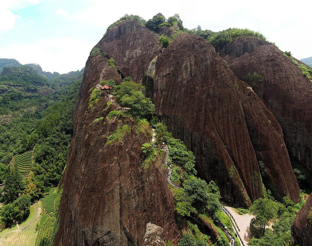
Tianyou Peak: the main viewpoint of the Wuyishan Scenic Area, overlooking the Nine-Bend Stream.
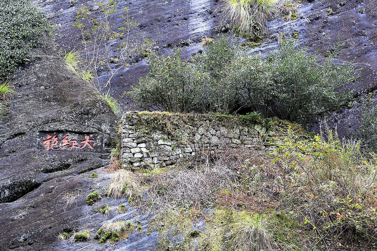
Da Hong Pao: the original Da Hong Pao tea bushes on a cliff and the rock-tea gardens of Jiulongke.
Wuyishan National Park Scenic Road No. 1: the 72 km park section runs from Hongxing Village (Xingcun Town) north to Tongmu Pass and south to the Huangkeng visitor center in Jianyang; opened May 2024.
Travel tips
Wuyishan City has Wuyishan Airport, and Wuyishan East Station is on the Hefei–Fuzhou high-speed railway; the Jiangxi side is reached via Shangrao and Yanshan.
Spring (April–May, the tea-picking season) and autumn are best; summer brings thunderstorms, and rafting may stop when the stream rises.
Human activity is generally prohibited in the core protection zone; areas beyond Tongmu Pass and around Huanggang Shan are off-limits without permits. Visits center on the scenic area and the scenic road.
Tickets and rafts usually require advance real-name booking. Do not carry fire into the forest, stay on trails, and watch for snakes after rain.
More photos
Map


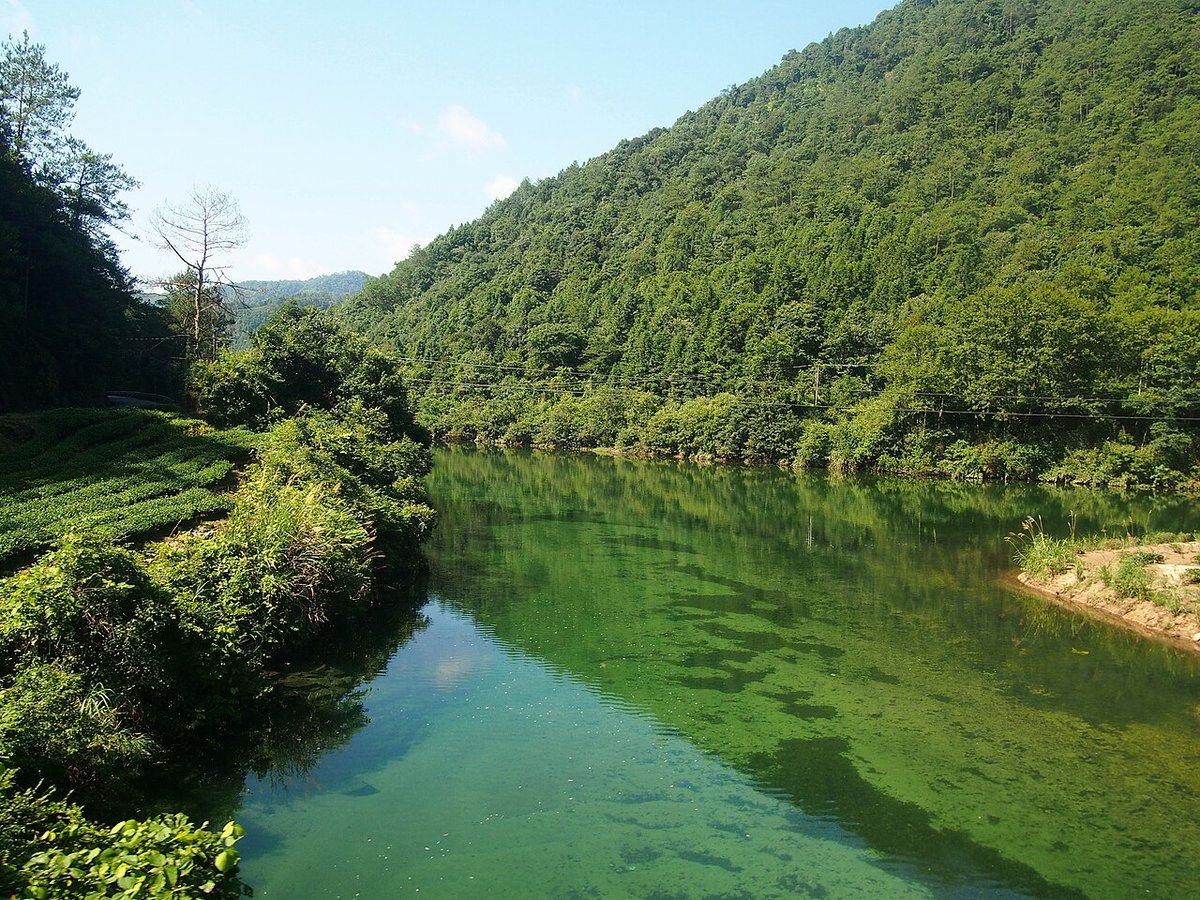
Photo credits: The Nine-Bend Stream with bamboo rafts: John Lian (CC BY-SA 4.0, Wikimedia Commons); Tianyou Peak: rheins (CC BY 3.0, Wikimedia Commons); The Tongmu Stream and its forests: rheins (CC BY 3.0, Wikimedia Commons); The mother Da Hong Pao tea bushes on the cliff at Jiulongke: Windmemories (CC BY-SA 4.0, Wikimedia Commons)
Nearby
| World Heritage | Mount Wuyi <1km, Guifeng (Turtle Peak) 84km, Taining - North Section 102km, Mount Longhu (Dragon and Tiger Mountain) 106km |
| National parks | Baoshan Scenic Area 89km, Lingshan Scenic Area 104km, Mount Fozi 116km, Mandarin Duck Creek 127km |
| AAAAA attractions | Dajueshan Scenic Area 74km, Taining Scenic Area 123km, Yunhe Terraces Scenic Area 158km, Liu Bowen Hometown Scenic Area 168km |
| AAAA attractions | Daanyuan Tourism Scenic Area 26km, Tongboshan 55km, Gexianshan 60km |
| UNESCO Global Geoparks | Taining UNESCO Global Geopark 123km, Changshan UNESCO Global Geopark 153km, Ningde UNESCO Global Geopark 163km |
| Historical sites | Wuyishan Cliff Tombs 1km, Chengcun Han City Site 15km, Zhangshantou Red Army Tombs 22km |
| National geoparks | Longhu Shandan Xiadimao National Geopark 108km, Dajinhu National Geopark 123km, Pingnan Baishuiyang National Geopark 127km |
| Nature reserves | Jiangxi Wuyishan National Nature Reserve 33km, Tongboshan National Nature Reserve 55km, Matoushan National Nature Reserve 77km, Mangdangshan National Nature Reserve 112km |
| Historic towns | Wufu Town 26km |
| Historic villages | Cheng Village 15km |